


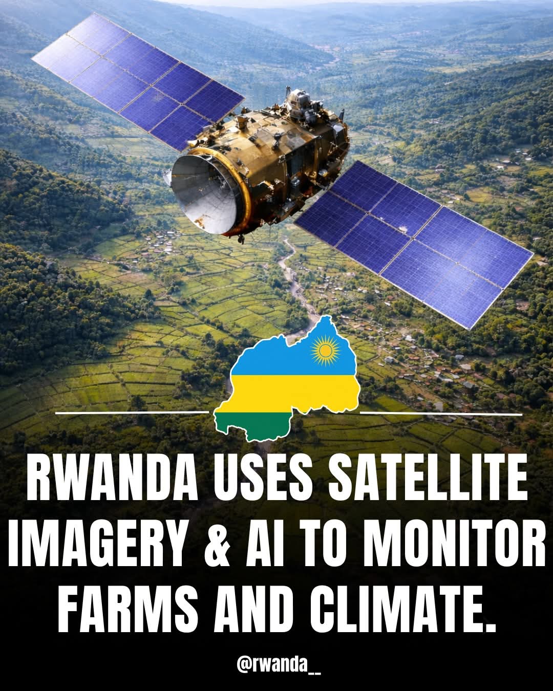
Rwanda has taken a major step toward modernizing agriculture with the launch of an artificial intelligence–powered geospatial platform designed to support farmers and strengthen climate resilience nationwide.
The new system, known as the Geo-Hub, has been deployed by the Rwanda Space Agency and uses satellite imagery combined with field survey data to monitor farms and track climate patterns across the country. By analyzing data from Earth observation satellites, the platform transforms complex information into easy-to-understand maps and insights that guide agricultural planning and decision-making.
For farmers, the Geo-Hub offers significant benefits. It enables better monitoring of crop conditions, early detection of climate-related risks such as droughts or floods, and improved planning of planting and harvesting seasons. With access to accurate and timely data, farmers can make informed choices that increase productivity, reduce losses, and improve food security.

The platform also supports government institutions and agricultural stakeholders by shifting planning from guesswork to data-driven strategies. Policymakers can use Geo-Hub insights to allocate resources more effectively, design targeted support programs for farmers, and respond quickly to climate threats that affect agricultural output.
Beyond agriculture, the Geo-Hub plays a critical role in climate monitoring and environmental management, helping Rwanda strengthen its resilience to climate change. By integrating advanced technology into farming systems, Rwanda is positioning itself as a regional leader in using space-based innovation to support sustainable agriculture and rural livelihoods.
The launch of the Geo-Hub underscores Rwanda’s commitment to leveraging technology to empower farmers, enhance food security, and build a more climate-smart agricultural sector.


It’s really a great and helpful piece of info. I’m glad that you just shared this useful info with us. Please keep us informed like this. Thanks for sharing.